Why do we monitor air
quality and visibility?
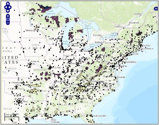
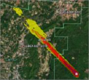
Monitoring the air quality within and near the National Forests in the Eastern (Region 9) and Southern (Region 8) Regions is one example of how the Forest Service is "caring for the land, and serving people." The air quality monitoring information is used for environmental assessments, and for our forest planning for each National Forest in the Eastern and Southern Regions. Furthermore, the Region 8 and 9 Air Resource Management staff use the information when providing technical advice to the appropriate Forest Supervisor (designated as the Federal Land Manager according to the Clean Air Act Amendments of 1977) when a new (large) stationary source of air pollution has the potential to impact any Air Quality Related Value at one or more of the 17 federally mandated Class I areas.
Webcams:
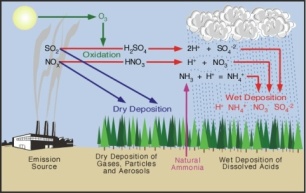
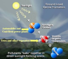
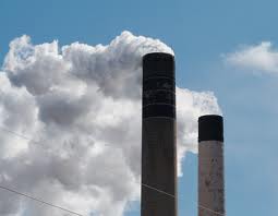
Air Pollutants of Concern:
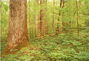
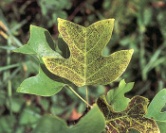
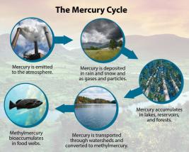
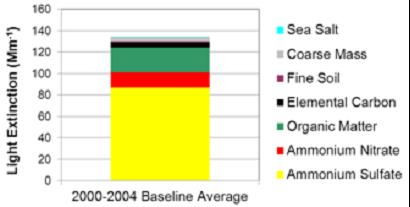
Air Pollution Impacts:
Other Information:
1/200